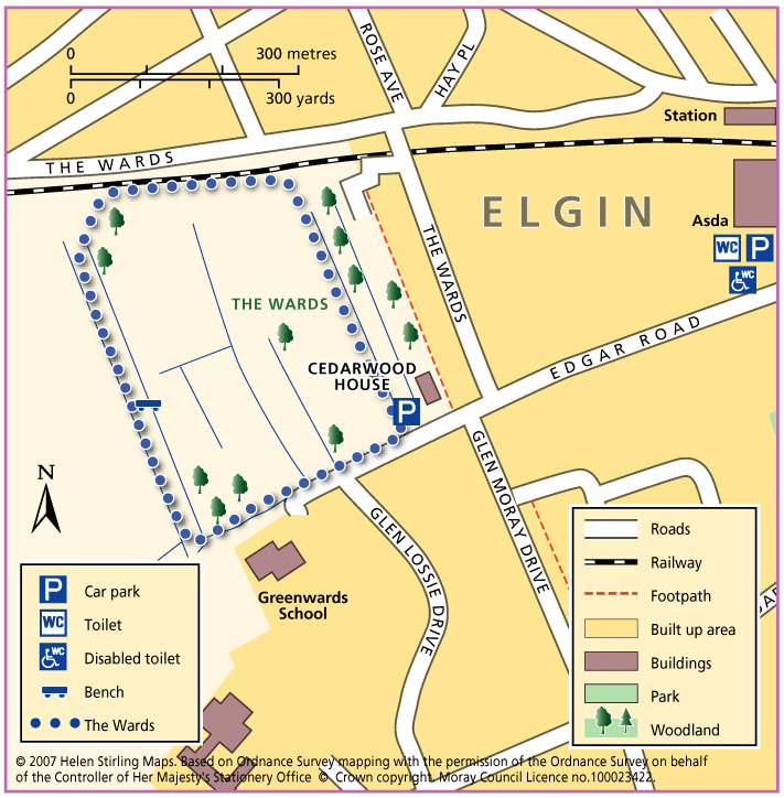
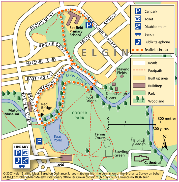
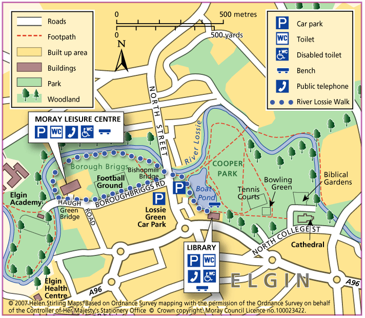
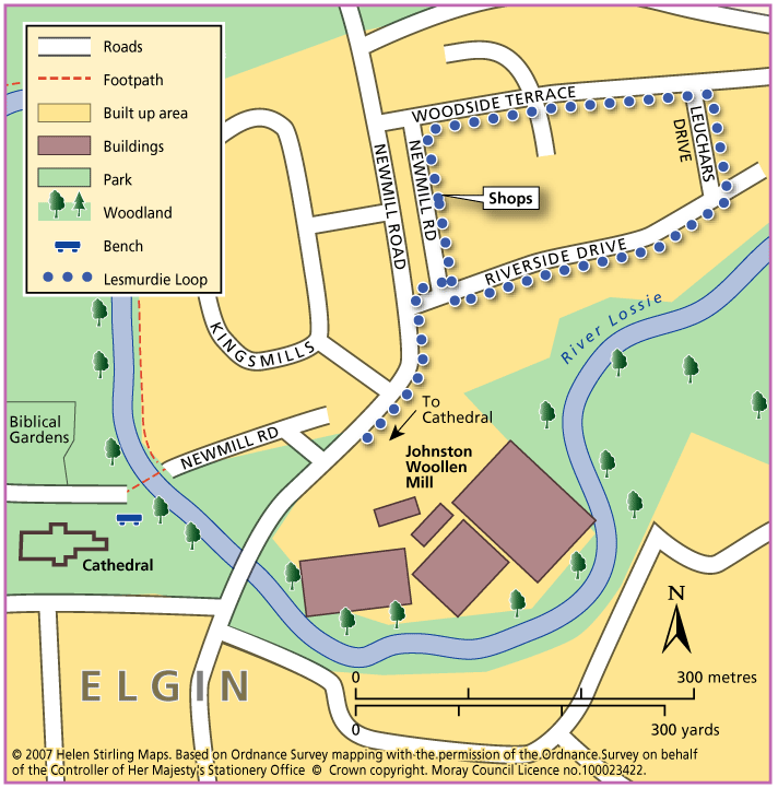
Elgin – Morriston Playing Fields
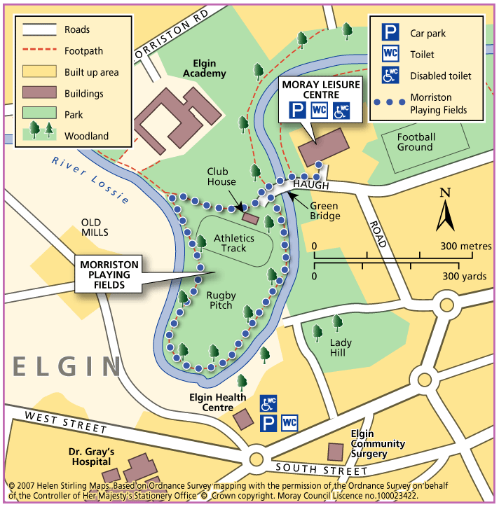
This circular walk follows the path round Morriston Playing Field, by the banks of the River Lossie. The path is flat but needs some care. It is suitable for most buggies but not wheelchairs.
- Accessible Walk, Health Walk
- Easy / Level 1
- 1 miles (1.6 km)
- 20 minutes
- Elgin
Accessibility: Suitable for buggies but not wheelchairs
Suitable for most buggies but may be be difficult during wet periods. Wheelchairs may struggle due to some uneven surfaces.
Terrain: Varied surfaces
Gravel footpaths. Can be muddy/ slippy in wet weather, and liable to flooding. Also watch out for fallen leaves during the winter.
- Generally level