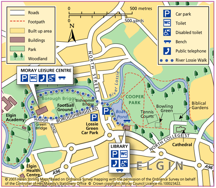
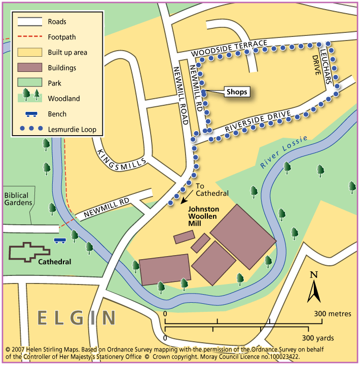
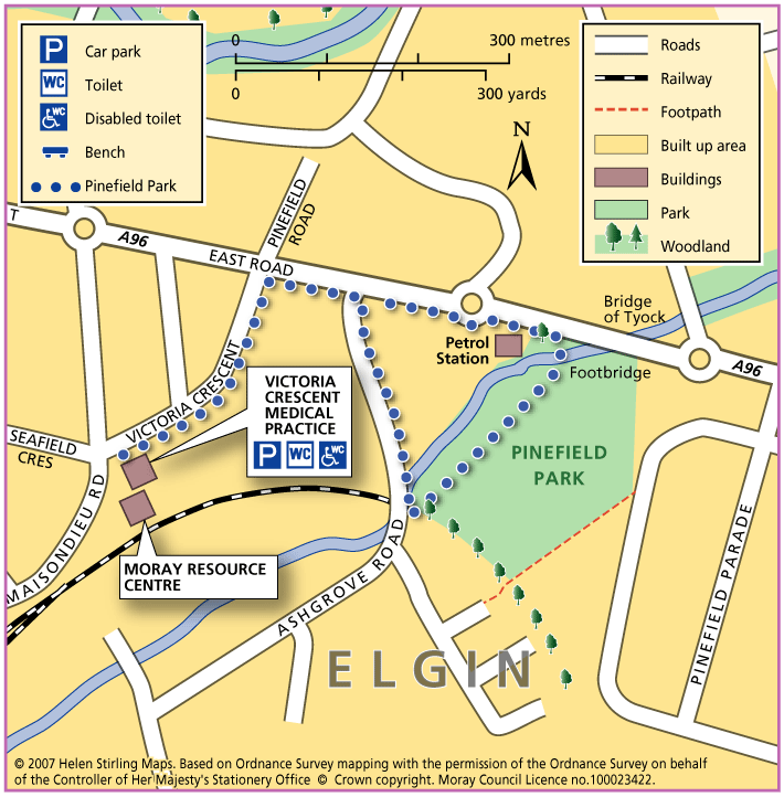
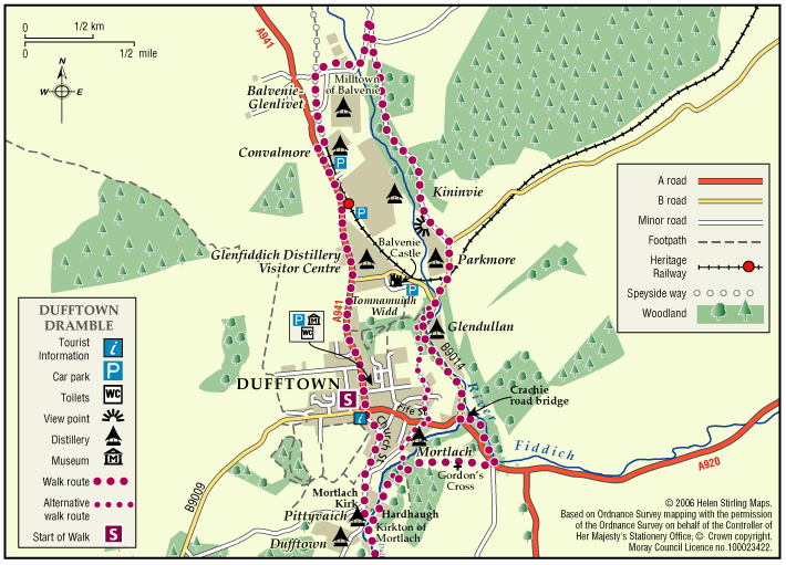
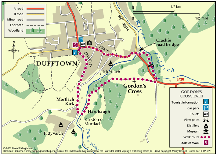
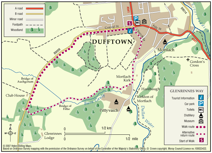
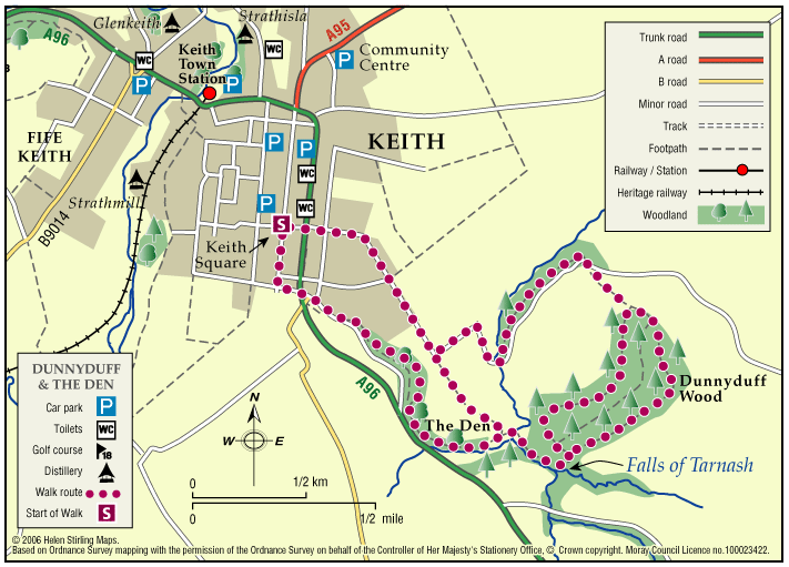
Elgin – Seafield Circular Walk
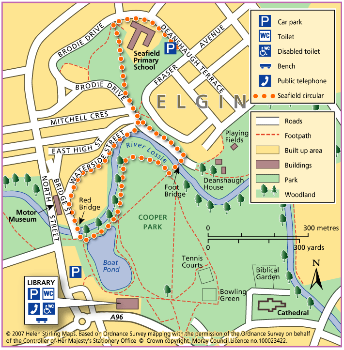
This circular walk follows part of the National Cyclepath into Cooper Park. The surfaces are good and suitable for wheelchairs and buggies, although there is an incline on Waterside Street. There are toilets and refreshments in the Library, on the other side of the Park.
- Accessible Walk, Health Walk
- Easy / Level 2
- 1.4 miles (2.24 km)
- 30 minutes
- Elgin
- Accessible for all users
- Paved footpaths & roads
- Generally level